
Academic Staff
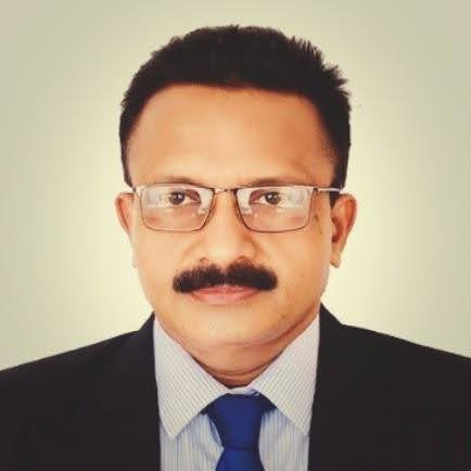
Prof. K. Rajendram
Ph.D. (JNU) New Delhi, M.Phil. (UJ), PG Dip. in GIS & RS (IIRS) Dehradun, B.A. Hons, (UJ).
Professor in Geography
E-mail: rajendramk@esn.ac.lk , skrajendram@gmail.com
Research Interest:Climate Change, Climatic Hazards and disasters, Climatic Water Budget, Disaster Risk Reduction, Environmental Management and Geospatial Applications

Mr. R. Kiruparajah
B.A. Hons, (EUSL), M.Phil.,(UJ)
Senior Lecturer in Geography
Email: kiruparajahr@esn.ac.lk, geokirupa@yahoo.com
Research Interest: Geomorphological Study, Environmental Study, Disaster Management, Application of Geospatial Technology

Mrs. T Sachithanantham
B.A. Hons, (EUSL), M. Phil (EUSL)
Senior Lecturer Gr.I
Email: thavaprabas@esn.ac.lk , sachilenu@yahoo.com
Research Interest: Environmental studies, Tourism, Demographical studies
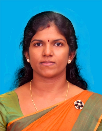
Mrs. S. Vasanthakumary
B.A. (Hons) in Geography, (UPDN), M.Phil (UPDN)
Senior Lecturer Gr.II
Email: vasanthakumarys@esn.ac.lk
Research Interest: Geological, Meteorological Hazards, Climate Change and Adaptation, Application of GIS, Development studies, Urban Environment

Mr. V. Pathmanandakumar
B.A Hons, (UPDN), BSc Hons in QS (SHU-UK), MSc (NTNU-Norway), AQSi
Lecturer (Prob.)
Email: pathmanandakumarv@esn.ac.lk
Research Interest:
https://scholar.google.com/citations?hl=en&user=PALmADYAAAAJ

Dr S. Suthakaran
Japan Science and Technology Research Fellow
Ph.D. (University of Tsukuba, Japan), M.Sc. in Disaster Management (UPDN), PG Diploma in Geo-Informatics (UPDN), B.A. Hons (UPDN)
Senior Lecturer Gr. II
Email: suthakarans@esn.ac.lk
Research Interest: Flood risk, flood impacts and resilience of agricultural communities. Disaster risk reduction and climate change adaptation. GIS, Remote Sensing and spatial analysis. OpenStreetMap, Volunteer Geographic Information and participatory/community mapping. Geospatial applications for sustainable development, agriculture and environmental management. Web GIS, spatial data infrastructure and open geospatial data. Geospatial technology and machine learning for disaster and urban/environmental analysis.